Read Brazil at scale
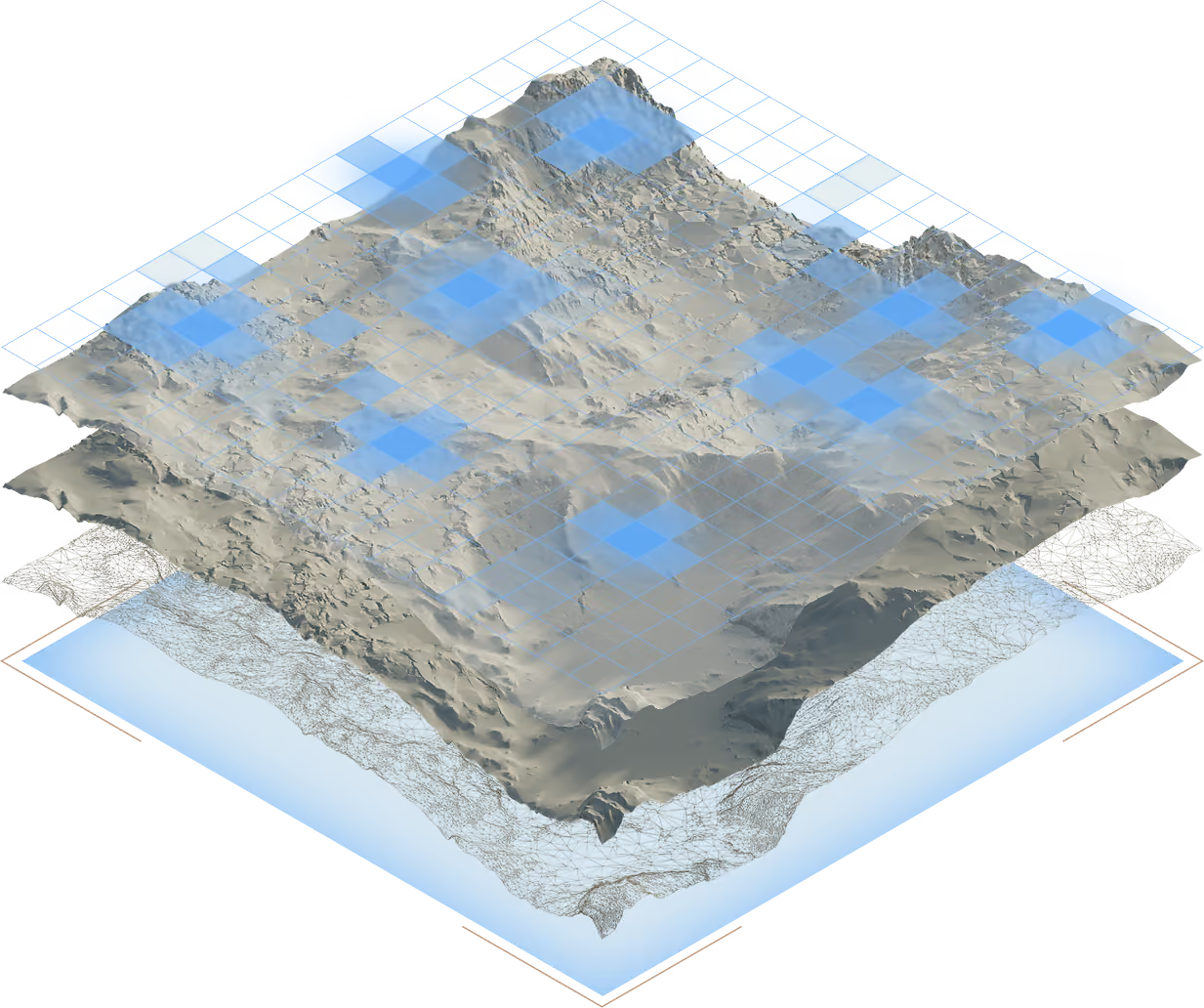
BTR maintains a national view to recognize geological settings, regions, and territorial relationships worth investigating.

Brasil Terras Raras brings together geoscience, execution, partners, and capital to originate and develop rare-earth projects in Brazil.
Explore the BTR MethodBTR works at the hardest point in the value chain: where scattered signals must become a testable thesis, a territorial decision, and a project capable of bringing together execution, partners, and capital.
We build our own intelligence to originate opportunities, choose where to investigate, confront hypotheses in the field, and structure each project for the path that makes sense: develop, partner, license, transfer, or stop.
We do not pile up data or collect targets. We make every opportunity earn, through evidence, the right to reach the next decision.
BTR maintains a national view to recognize geological settings, regions, and territorial relationships worth investigating.
Technical judgment and disciplined comparison determine which opportunities deserve time, fieldwork, and capital.
Observation, sampling, and laboratory work confirm, reshape, or close the hypothesis — and make the next decision smarter.
With sufficient evidence, BTR defines the territorial arrangement, development strategy, and best path among developing, partnering, licensing, transferring, or stopping.
Our ambition is high. Our standard for moving forward must be higher.
We would rather close a weak hypothesis than sustain a strong narrative the field cannot confirm.
Geoscientific knowledge, territorial decisions, and execution experience accumulate inside BTR with every project cycle.
Capital, participation, and partnership only make sense when structure, documentation, clear risks, and a project that earned the next stage exist.
Applied geology, remote sensing, data science, and field validation work on the same hypothesis — from the first signal to the decision to advance or stop.