See Brazil across scales
We begin at continental scale and narrow the search until only the areas that truly deserve investigation remain.
The BTR Method
We turn a continental territory into comparable hypotheses, defensible priorities, and campaigns that know exactly what they need to prove.
The advantage is not generating more signals. It is connecting independent evidence, exposing contradictions, and making each hypothesis earn the next stage without calling an anomaly a discovery.
Narrow the territory before mobilizing fieldwork and capital.
Make every hypothesis compete for the next stage through evidence.
Turn field results into territorial and project decisions.
Four capabilities turn data volume into a decision line that can be explained, tested, and revised.
We begin at continental scale and narrow the search until only the areas that truly deserve investigation remain.
Software, models, APIs, geology, geochemistry, terrain, and imagery remain connected in one traceable BTR environment.
Every target advances through converging evidence, geological context, and real investigation conditions — never through an isolated score.
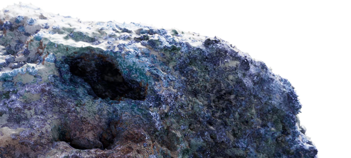
Observation, sampling, and laboratory work update the current hypothesis and make the next cycle more precise.
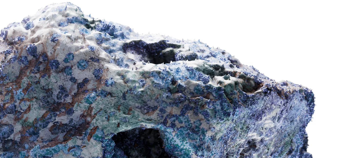
Technology accelerates the cycle. Geology can revise a priority, return a question, or close the path.
Multispectral imagery, terrain models, and mapping reveal patterns, structures, and contexts that deserve a better question.
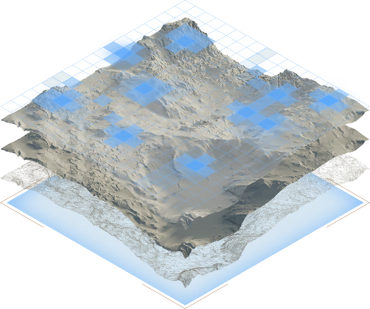
Internal APIs normalize geological, geochemical, mineralogical, and territorial data so independent signals can agree — or contradict one another.
In-house models compare convergence, data quality, access, and investigation conditions. Geological judgment defines the next stage.
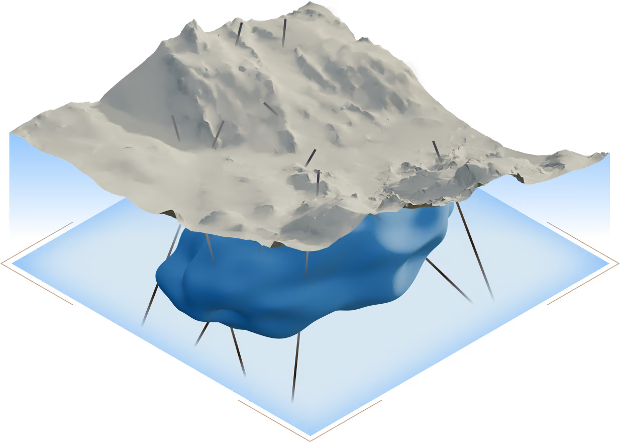
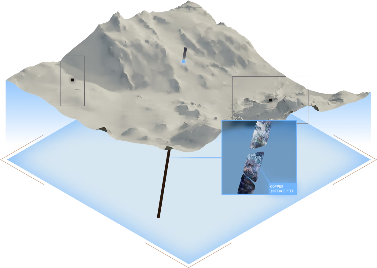
Georeferenced observation, sampling, and laboratory work confront the hypothesis with the terrain. The result may confirm, reshape, or close the path.
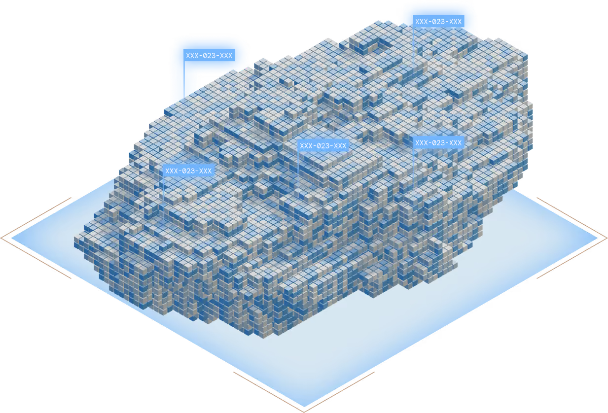
Brazil combines vast distances, geological diversity, and information gaps. Regional analysis shows where to ask; local validation decides whether the hypothesis survives.
Drag to explore the globe. Brazil is highlighted.
The BTR method was built to expand reach without outsourcing judgment.
Models organize comparison; geological context, data quality, and contradictory evidence determine the real weight.
Favorable area, target, resource, and reserve are different stages. Our copy, map, and method preserve that distinction.
A digital hypothesis only deserves to continue when observation, sampling, and analysis support the next question.
Criteria, data, reviews, and validations record why an area advances, changes structure, or leaves the cycle.