Start with a geological question
An efficient campaign first defines the deposit model, expected evidence, and hypotheses that can be rejected. This guides which maps, images, surveys, and samples genuinely help the decision.
Without a clear question, large data volumes may simply multiply correlations. Priority should come from consistency among regional geology, structures, lithology, alteration, and geochemical or geophysical signatures.
What remote sensing can show
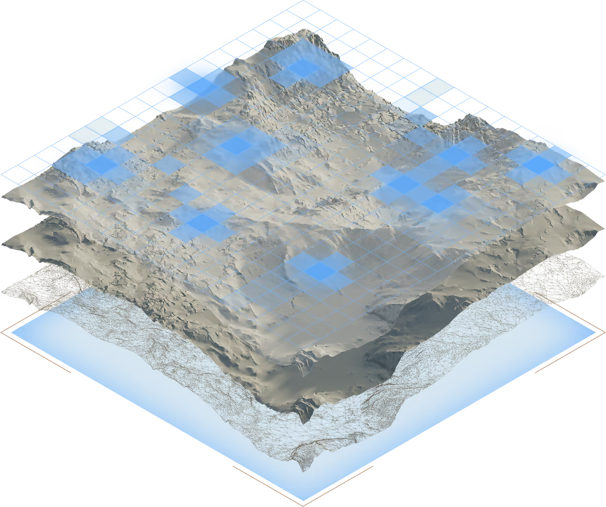
Multispectral images, elevation models, and terrain data help identify units, lineaments, drainage patterns, and surface alteration. At regional scale, they are useful for comparing areas and planning fieldwork.
These signals do not identify an economic deposit by themselves. Vegetation, soil, moisture, resolution, and data coverage can limit interpretation. The most useful result is a spatial hypothesis that can be tested.
Field and laboratory test the hypothesis
Mapping, outcrop and profile descriptions, georeferenced sampling, and drilling bring interpretation closer to the actual material. Laboratories identify grades, mineralogy, and characteristics required for processing tests.
Quality assurance and control plans accompany collection, preparation, and analysis. Duplicates, blanks, certified standards, and traceability help identify contamination, bias, and imprecision.
The cycle continues after the first result
New evidence may confirm, shift, or close a target. That feedback is part of the method: models are updated, gaps become visible, and the next campaign focuses resources on the highest-value questions.
A favorable area, exploration target, mineral resource, and reserve are different stages. Keeping this language separate protects technical quality and prevents a preliminary indication from becoming a conclusion the data does not yet support.
From a remote-sensing hypothesis to a field decision
A field campaign should establish which decision depends on the observations and samples it will collect.
Preparation and proposed workflow
Define the geological question, previous evidence, responsible specialist, access conditions and recording and sampling plan. Specify how the findings will be assessed.
For each activity, record the question, expected evidence and decision that could change. Compare field observations and analyses with the original hypothesis.
Hypothetical example
A regional interpretation suggests that two locations belong to the same geological unit. The campaign investigates this relationship through documented observations at both locations.
Fieldwork reveals different materials. The proposed decision is to revise the correlation before treating the locations as continuity of one target. Rejecting the initial interpretation is a useful result.
A practical record can follow this sequence: question → activity → observation → discrepancy → revised decision.
Limits and next step
Isolated points do not establish continuity across an entire area. Sample counts, spacing and analytical criteria require project-specific technical design.
Review the hypothesis record with the responsible specialist. The BTR method explains how data, fieldwork and hypothesis revision fit together.
Sources and documentary base
References consulted for the review dated August 16, 2026. Links lead to the original publications.
- Série Minerais EstratégicosServiço Geológico do Brasil, 2025
- Rare earth element mineral depositsU.S. Geological Survey, 2019
- Sistema Brasileiro de Recursos e Reservas MineraisAgência Nacional de Mineração, 2022
Sources support the general context. Evaluating a specific area or project requires first-party data, a declared method, and review by qualified professionals.